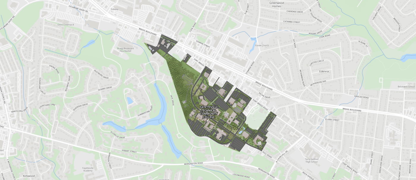
The Interactive Map system is FTCC’s wayfinding and location information tool. We’ve developed this application and need your feedback to improve it. We want to know what did and didn’t work for you, or if you couldn’t find something. Please ask us your questions and give us your suggestions. Tell us about your experience – the good and the bad.